

After Ali al-Taher, Where Is Israel’s Battle Heading in the South?
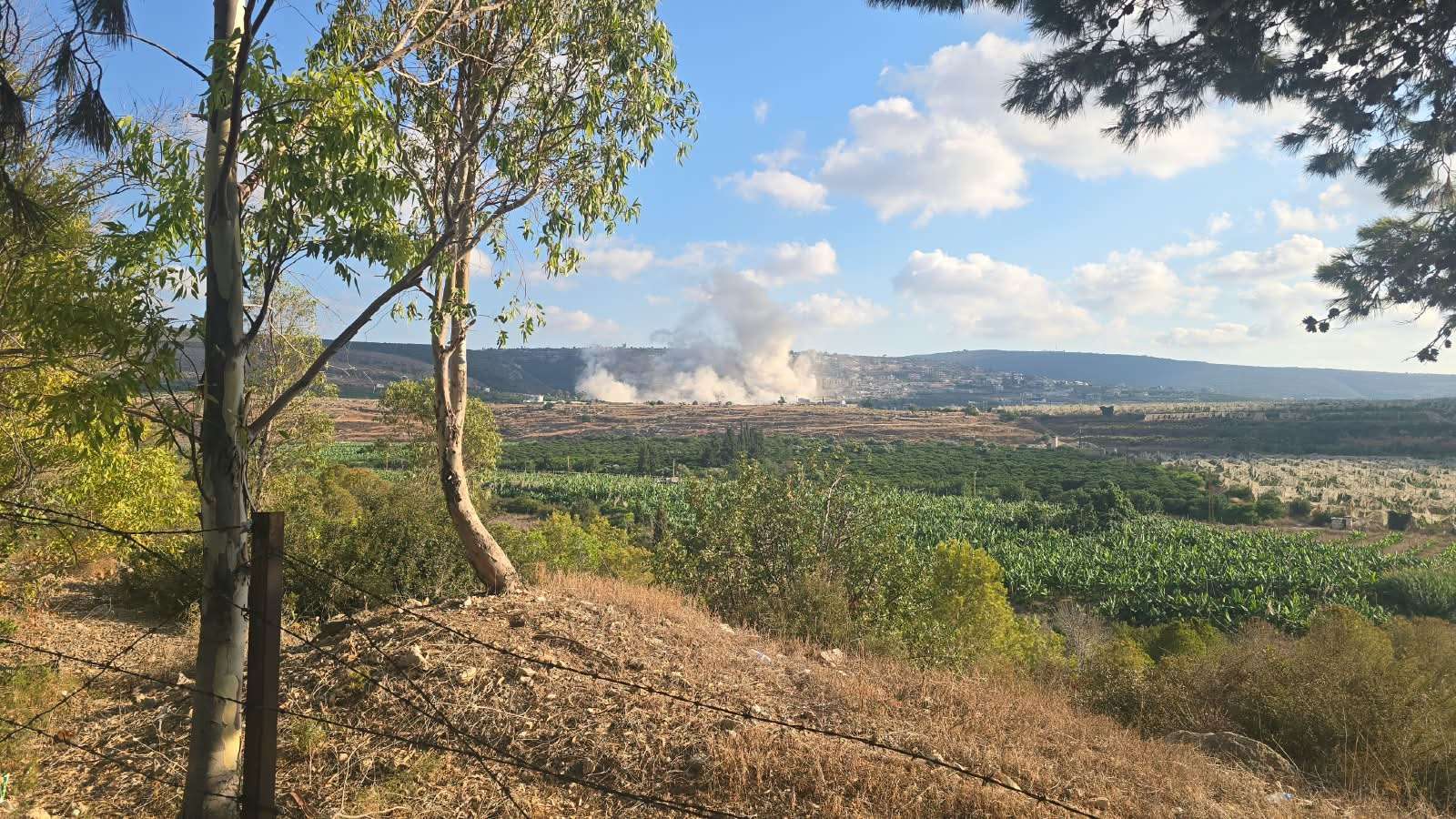
Ali al-Taher Ridge was blown apart, but the battle for southern Lebanon did not end there. After the major Israeli operation targeting the network of tunnels and underground facilities beneath the ridge, the map of fire did not shrink. It expanded from Nabatieh to Mansouri, Wadi Zibqin and Wadi al-Salouqi, reaching towns along the border.
This is where the Lebanon file after Ali al-Taher begins: not with the question of what Israel destroyed beneath the ridge, but with what it may now be looking for beyond it.
If Ali al-Taher Ridge was indeed a center of gravity in Hezbollah’s military infrastructure, what happens next should reveal the consequences of losing it. But if the ridge was only one node in a much wider network, the dozens of explosions and airstrikes scattered across southern Lebanon may offer the first clues in the search for the next node.
On September 10, the first map of that test began to emerge.
A New Story Begins at Ali al-Taher
Israel ended its Ali al-Taher operation with a major announcement: it said it had destroyed a tunnel network extending for more than two kilometers, containing command rooms, weapons storage facilities and underground infrastructure, before declaring what it described as “operational control” over the area.
Reuters had documented the emergence of Ali al-Taher Ridge as one of the main flashpoints in the confrontation between Israel and Hezbollah, noting its location roughly 15 kilometers from the border and its geographical and military significance.
But the importance of the operation cannot be measured solely by the size of the tunnel network Israel says it destroyed.
The real test begins after the explosions: Will the fall of Ali al-Taher expose other sites connected to it, or will Hezbollah’s military infrastructure continue operating from other sectors without suffering an impact proportionate to the scale of the Israeli claim?
That is precisely what makes the map of operations that emerged in the following hours so important.

After the Blast, the Map of Fire Expanded
The Ali al-Taher operation could have marked the conclusion of a long day of military activity. What happened on the ground, however, pointed in a different direction.
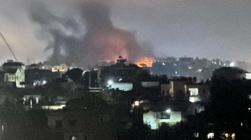
Airstrikes, explosions and artillery fire spread across a wide range of sectors, including Nabatieh al-Fawqa, Mansouri, Wadi Zibqin, Wadi al-Salouqi, Khiam, Mays al-Jabal and other areas across southern Lebanon.
Late at night, Israeli airstrikes returned to the Wadi Zibqin-Mansouri sector, after Nabatieh al-Fawqa had been hit by three successive strikes earlier in the day.
This map does not prove that all the targeted locations are connected to Ali al-Taher or form part of a single military network.
But it does show that Israel’s focus on the ridge did not lead to a contraction of military operations elsewhere in the south. On the contrary, strikes continued across multiple sectors alongside the major operation at Ali al-Taher.
Mansouri: Why More Than 30 Explosions?
If there is one location that warrants particularly close attention after Ali al-Taher, it is Mansouri in the Tyre district.
According to field reports circulated on Thursday, Israeli forces carried out more than 20 demolition operations in the town during the day, following another period of intense activity there the previous day.
The operations were accompanied by artillery fire, while reports also described the dropping of what are locally referred to as “explosive canisters” in the area.
The number alone does not reveal the nature of the target.
But the intensity of the explosions raises a question strikingly similar to the one that preceded the emergence of a clearer picture at Ali al-Taher: What exactly is Israel trying to destroy there?
So far, there is not enough independently verified information to determine the nature of all the sites targeted in Mansouri or to establish that underground infrastructure similar to what Israel reported at Ali al-Taher exists there.
For now, therefore, Mansouri’s significance lies not in the answer, but in the question it raises.
Wadi Zibqin: Airstrikes Continue Into the Night
At 10:24 p.m. on Thursday, Israeli airstrikes resumed against Wadi Zibqin and Mansouri in the Tyre district.

The timing of those strikes matters because they came on the same night as the large-scale operation at Ali al-Taher.
Rather than marking the end of military operations, the destruction at the ridge was followed by further Israeli airstrikes elsewhere in southern Lebanon late into the night.
There is currently no verified information establishing a direct operational connection between Wadi Zibqin and Ali al-Taher. However, the continued targeting of the area places it firmly on the map to watch in the post-Ali al-Taher phase.
Nabatieh Remains Within the Operational Map
In another direction, Nabatieh and its surrounding areas have not disappeared from the equation.
Nabatieh al-Fawqa was hit by two Israeli airstrikes at approximately 2:35 p.m. on Thursday, followed by a third strike less than 20 minutes later.
Artillery fire also extended to Zawtar al-Sharqiyah, Kfar Tebnit, Dawhat Kfar Rumman and other nearby areas.
The geography becomes more significant when viewed alongside Ali al-Taher, which rises east of Nabatieh and overlooks broad areas of southern Lebanon.
If control of the ridge has genuinely altered Israel’s surveillance capabilities or its ability to reach other areas, the pattern of operations around Nabatieh in the days ahead could provide some of the first indications of the operation’s actual consequences.
The Map of Southern Lebanon Is Changing
When the locations subjected to airstrikes, artillery fire and demolition operations are placed on the same map, what emerges is not a single front but several simultaneous sectors.
There is the Nabatieh-Ali al-Taher axis, the Mansouri-Wadi Zibqin axis in the Tyre district, and the Wadi al-Salouqi-border towns axis, alongside Khiam, Mays al-Jabal, Shebaa, Kfar Shouba and other areas.
This geographical spread should not, by itself, be treated as evidence that a single network connects all of these locations.
But it raises a legitimate question: Is Israel dealing with a collection of separate targets, or is it attempting to dismantle a wider network one node at a time?
The answer will not come from the number of airstrikes. It will come from what subsequent operations reveal.
Did Intelligence From Ali al-Taher Lead to New Targets?
This is the most sensitive question in the post-Ali al-Taher file.
If Israeli forces obtained maps, equipment, documents or intelligence inside the facilities they entered that point toward other locations, the consequences could begin to emerge in the selection of targets over the following days.
If no clear operational trail emerges linking Ali al-Taher to subsequent operations, however, it could indicate that the ridge was an important site in its own right but not necessarily a gateway into the rest of Hezbollah’s military infrastructure.
Reuters previously reported details from a Lebanese military official concerning the extent of Israeli control over entrances to the Ali al-Taher facilities, while the actual depth of Israel’s penetration into the tunnel network remained independently unclear.
Talking about a “post-Ali al-Taher” phase therefore does not mean assuming that Israel obtained intelligence leading to other locations. It means watching whether future operations provide evidence that it did.
Another Possibility: Israel Is Still Searching
There is another scenario that deserves equal attention.
The intensity of operations in Mansouri, Wadi Zibqin, Nabatieh and Wadi al-Salouqi may not be the result of an intelligence trail emerging from Ali al-Taher at all.
Israel itself may not yet know where the next center of gravity lies and could be using a combination of aerial surveillance, intelligence gathering, firepower and ground operations to identify what remains of the wider infrastructure.
Under this scenario, the map of strikes would not represent a map of “movement” from one center to another. It would instead represent a search for the next center.
The distinction is fundamental.
The first scenario would suggest that Israel has begun dismantling an interconnected chain. The second would suggest that losing Ali al-Taher did not necessarily reveal the road to whatever lies beyond it.
The Iranian Dimension Has Not Disappeared
Developments in southern Lebanon also cannot be entirely separated from the wider regional calculations surrounding the conflict.
Before the large-scale Israeli operation on the ridge, Reuters reported that Iran had warned the United States about the consequences of a major Israeli attack on Ali al-Taher.
That gave the site significance extending beyond its immediate geography, without necessarily settling the question of its precise importance within Hezbollah’s military infrastructure.
The Lebanon file also sits within a broader regional landscape in which the calculations of Israel, Iran and the United States intersect, alongside developments involving Iran and the Strait of Hormuz.
Lebanon File: Where Will the Next Node Emerge?
Ali al-Taher is no longer the only question.
After the destruction of the ridge, Mansouri, Wadi Zibqin, the Nabatieh area and Wadi al-Salouqi have become parts of a map that needs to be read carefully — not by treating every strike as evidence of a new discovery, but by watching the direction of future operations as the real test of what Israel achieved at Ali al-Taher.
If Ali al-Taher leads to a chain of additional facilities, weapons depots, tunnels and command centers, its strategic value will extend far beyond the ridge itself.
If operations instead remain dispersed across southern Lebanon without such a chain emerging, while Hezbollah’s military capabilities continue operating from other areas, questions will return over whether Ali al-Taher’s strategic importance was overstated relative to its actual place within the wider system.
If, however, one of the areas now facing intense pressure — particularly Mansouri — develops into the center of a new battle, it may provide the first indication of where the next phase is heading.
After the destruction of Ali al-Taher, the question is no longer simply what was hidden beneath the ridge.
The question now is: Where will the next node emerge in southern Lebanon?